When the project needs evidence preparation, technical judgement or confirmed professional scope in this lane.
PROFESSIONAL SURVEYING SERVICE
Drone Survey & 3D Modeling
Review the service scope, required information and expected output below.
Scope, fees and delivery arrangements are confirmed before work begins.
Infrastructure & Engineering
Drone Survey & 3D Modeling
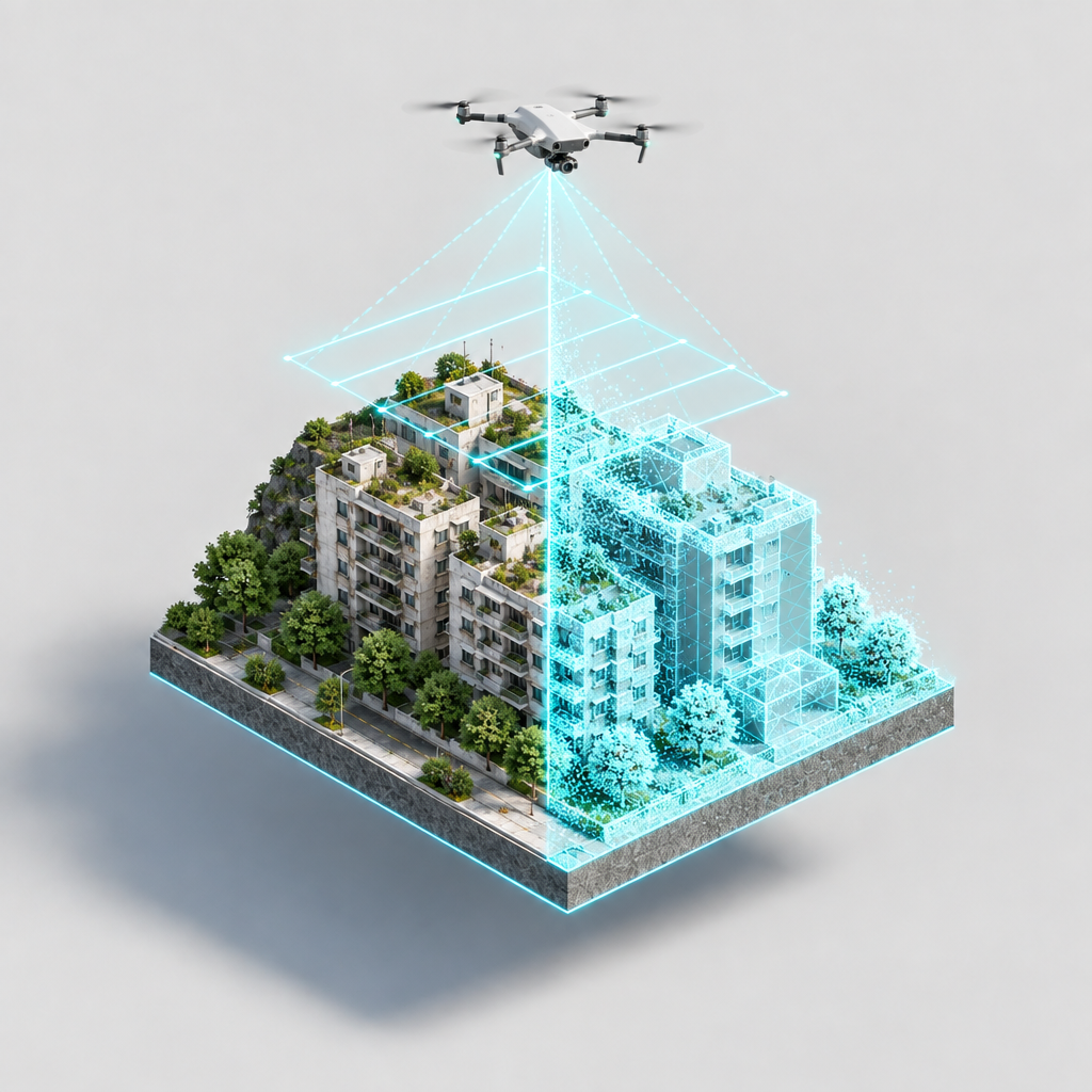
從既有航拍影像到現場採集,本服務按影像品質、控制點、建模複雜度與交付格式分階段規劃。先核對項目位置、原始資料、用途及所需精度,再確認可行方案與書面報價。
購買前請留意:目前商品標價 HK$3,900,並非下列 Step 01 的 HK$0 免費預檢;亦不代表一次購買即可取得所有六階段成果。請先確認該售價對應的工作範圍。以下均為階段規劃及參考價格,非即時線上購買選項。
六階段服務方向
Step 01|影像品質與重疊度預檢(線上方向)
檢查清晰度、重疊度、POS 定位資料及缺失影像;診斷報告的格式與可行範圍待確認。規劃免費體驗 HK$0;100 GFun 替代方案未啟用核實。自助上傳、自動檢核及即時結果目前不作已上線承諾。
Step 02|合格影像雲端建模(線上方向)
擬提供實景三維模型、LAS 點雲、DOM 正射影像及處理報告;3D Tiles/OBJ 等格式以資料與技術評估為準。參考 HK$1,000–3,900;1,500 GFun 方案、自動雲端建模及下載流程尚待核實。
Step 03|影像人工整理與控制點配對(專人處理)
按影像航帶及控制點品質評估人工整理、空三解算和模型修正;所需地面控制點資料及精度須先確認。參考 HK$3,000–8,000,按範圍書面報價。
Step 04|模型人工修補與 LOD 分層(專人交付)
按模型問題評估幾何修補、LOD 輕量化及網頁場景呈現;Cesium 3D Tiles 介面與連結須確認平台條件。參考 HK$8,000–20,000,按範圍書面報價。
Step 05|現場控制點測量與核實(線下實地)
視場地安排測量人員進場,規劃控制點實測、座標校正與核實文件;成果精度和正式文件資格按個案確認。參考 HK$15,000–35,000/案,另行書面報價。
Step 06|現場航拍與全流程建模(線下實地)
按空域、現場安全及拍攝條件評估航拍採集、點雲、實景模型及 Web 3D 展示。參考 HK$35,000–100,000+;所需許可、採集範圍、平台發布及交付規格均須另行確認與報價。
所有精度、航拍許可、資料授權、格式、交期與成果驗收標準,以項目資料審核、合約及書面確認為準;不保證特定機型、厘米級精度或固定交付日數。
Service Decision Guide
Prepare the location, project context, documents, images, drawings and the core issue.
Clarify evidence gaps, service direction and expected outputs before formal scope is confirmed.
It does not promise formal outputs before evidence, scope and commercial terms are verified.
Standard Service Pathway
Confirm the location, project stage and decision issue.
List documents, images, drawings and evidence gaps.
GLG identifies the appropriate scope and professional team.
Confirm outputs, timing, pricing and professional responsibility separately.