
Survey
Start with what you have.
Before a formal survey, check what information you already have, what is uncertain, and what is still missing.

What are you trying to figure out?


What you can check here

Surveying & Geospatial Services
Nine geospatial capabilities. One delivery workflow.
Reality Mapping · Field Operations · Urban Planning & Design · 3D GIS · Parcel Management · Imagery & Remote Sensing · Utility Network · Data Management · Bathymetry

Capture the real world in 2D and 3D.
Use drone and aerial imagery with photogrammetry to produce accurate maps, point clouds, elevation surfaces, and 3D reality models.
- Drone & aerial imagery
- Photogrammetry
- Point clouds
- Reality models

Connect fieldwork with the project record.
Collect and verify field data for surveying, control, inspection, monitoring, and reliable field-to-office handoff.
- Field data collection
- Control measurement
- Site inspection
- Survey verification
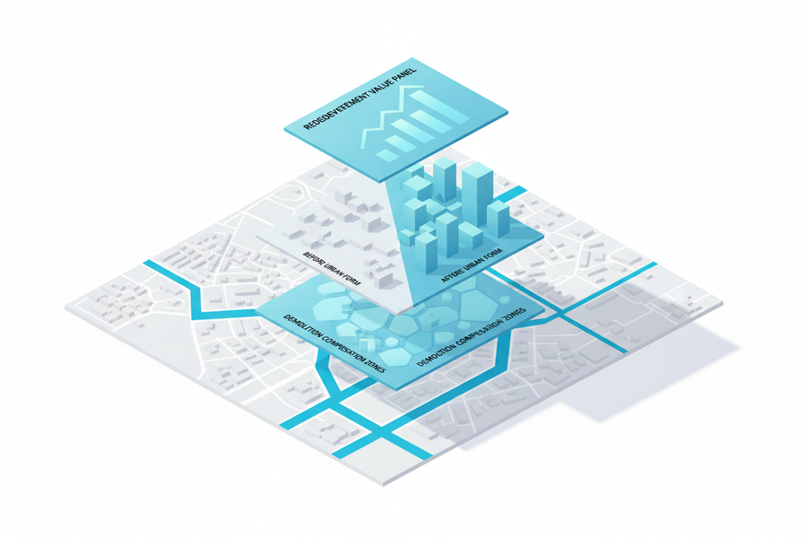
Test plans against real site conditions.
Bring existing conditions, planning constraints, development scenarios, and design options into one spatial planning workflow.
- Existing conditions
- Planning constraints
- Scenario planning
- Design review
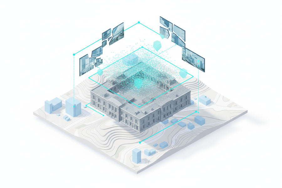
Turn 3D data into a working spatial environment.
Integrate point clouds, 3D models, GIS layers, and digital-twin data for visualization, analysis, and project operations.
- 3D scenes
- Point cloud integration
- Digital-twin data
- Spatial analysis
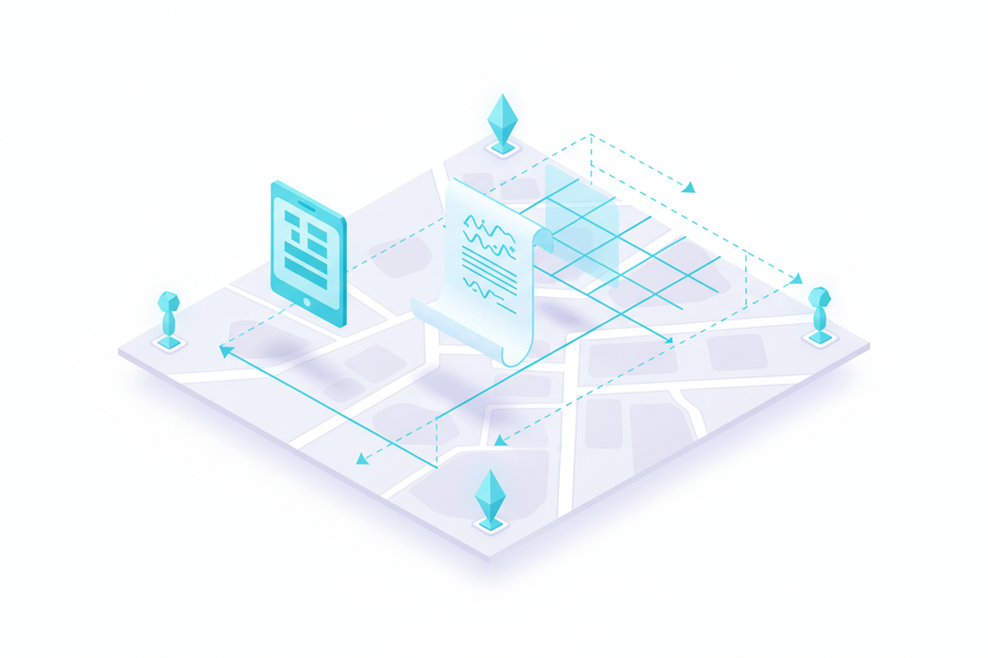
Maintain clear parcel and boundary records.
Organize cadastral survey evidence, parcel boundaries, survey records, and land information into traceable parcel records.
- Cadastral survey records
- Parcel boundaries
- Survey evidence
- Record maintenance
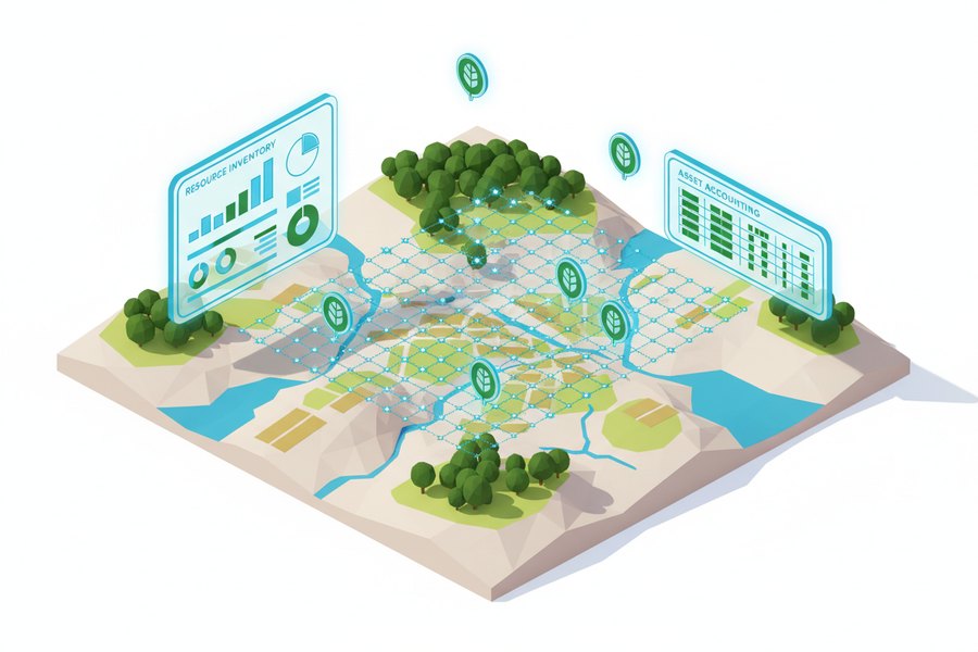
Detect patterns and change from imagery.
Analyze satellite and aerial imagery for classification, change detection, monitoring, and land or environmental evidence.
- Satellite imagery
- Multispectral analysis
- Change detection
- Image classification
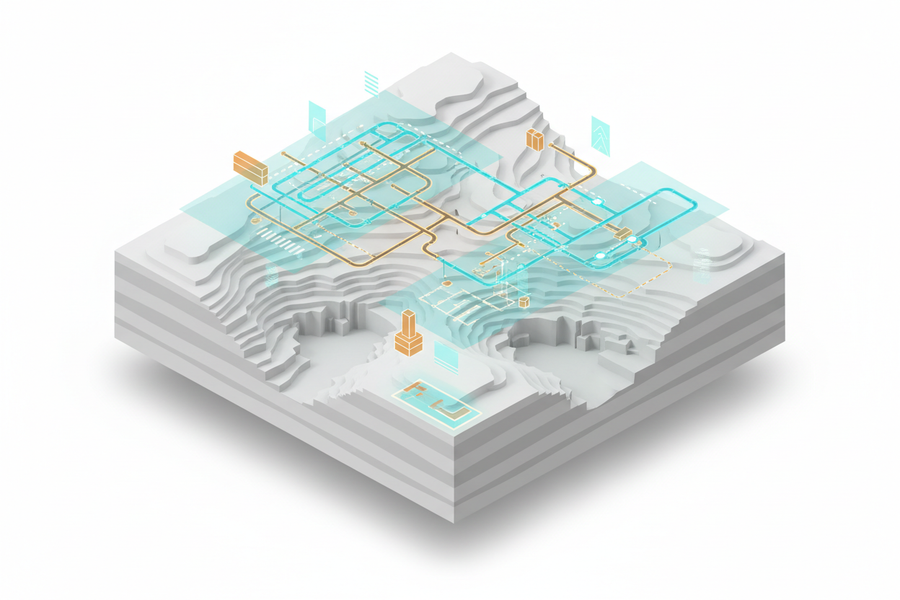
Map and manage connected infrastructure.
Combine utility detection, surveyed positions, network mapping, and 3D records to support design, construction, and operations.
- Utility detection
- Asset locations
- Network mapping
- 3D utility model
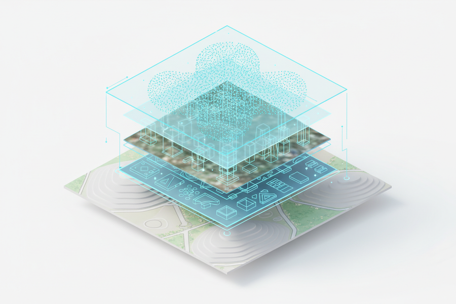
Keep spatial data consistent and ready to use.
Organize, validate, transform, store, and serve survey, GIS, imagery, and 3D datasets through governed data workflows.
- Data inventory
- Schema & format management
- Coordinate transformation
- Spatial database
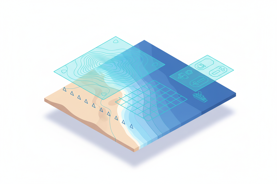
Measure underwater terrain with confidence.
Acquire, process, and organize bathymetric and hydrographic data for coastal, marine, and engineering projects.
- Bathymetric survey
- Seabed surface
- Coastal mapping
- Hydrographic data
Built for real projects
Professional geospatial work starts with the site, the evidence, and the required deliverable.
Grounded in surveying, GIS, planning, reality mapping, field operations, and spatial data delivery.
Define the site, available evidence, required decision, and delivery scope before selecting the technical workflow.
Deliverables are prepared for engineering, GIS, planning, infrastructure, and project review workflows.